Rated 4.6 on Reviews.io
Rated 4.6 on Reviews.io
Home / 43566532165869


Our quality prints

Printed with precision
We use state-of-the-art giclée printers for unmatched clarity and detail.
Museum quality paper
Our 220gsm, premium paper gives your prints a heavyweight feel.
Vibrant inks
We use the best inks available making your art pop with vibrant colours. It won't fade or discolour, with an 80 year guarantee.
Mindful production
Our paper is sustainably sourced.
Our quality frames

Framed with care
Fy! frames are made by hand using solid wood and extra thick backing board.

Ready to hang
Your print arrives framed and with all mounting hardware attached.

Safe and sound
Our back taped finish and premium acrylic means your art is fully protected.
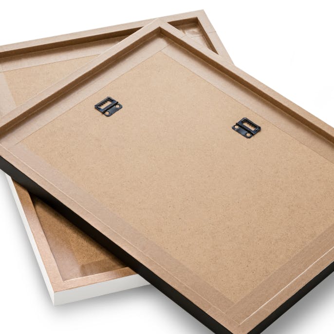
Solid surroundings
Our frames are only made using sustainably sourced wood.
Premium international shipping for $28.99
This boutique is on holiday orders will be shipped when they return. Estimated delivery: Wed 4 Dec - Fri 6 Dec
14-day returns policy
We offset delivery & packaging carbon emissions on every order.
5-star customer support on live chat
 Product details
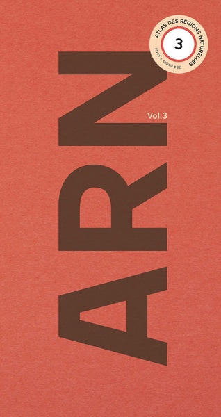
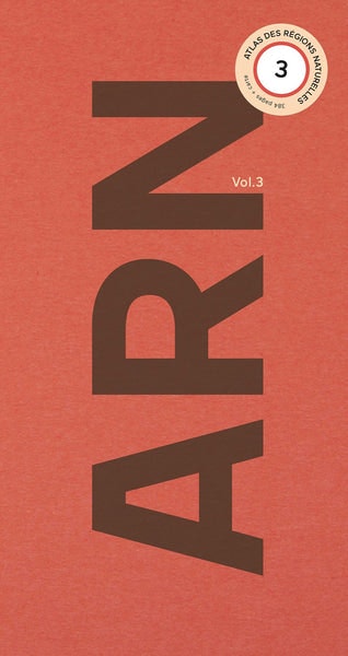
With this third edition of the _Atlas des Régions Naturelles_, Eric Tabuchi and Nelly Monnier continue their long-term project launched in 2017: the comprehensive documentation of the 450 natural regions – or ‘pays’ (lands) – composing the French territory. This exceptional photographic adventure is slated to unfold over several years, with one publication every six months. This exceptional photographic adventure is slated to unfold over several years, with one publication every six months.
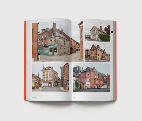
Traversing these small geographical and cultural entities, some fallen into oblivion following the administrative division of the country, the duo collects visual elements that embody the essence of a region. They comingle man-made particularities– traditional architecture, toponyms, local tastes, historical traces– and natural features, such as relief, landscapes, colours, vegetation, etc.
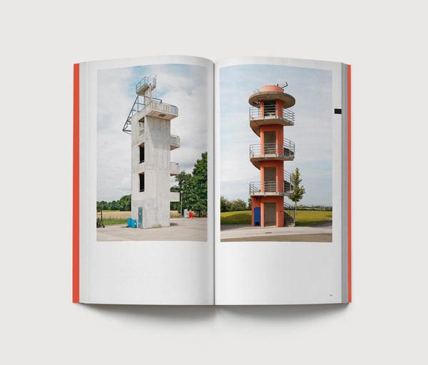
In a transversal manner, the authors present thematic topics as formal typologies, as in the present volume: _Architectures d’entraînement, Discothèques, Géométries publiques et Infrasculptures_ Spanning the entire country, these categories transcend the natural regions and illustrate the complexity of France as a global entity.
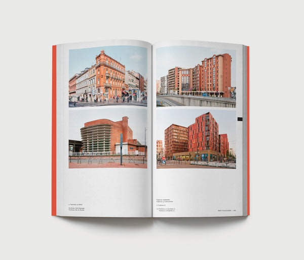
With 384 pages and more than 500 images, the _Atlas des Régions Naturelles Vol. 3_ assembles twelve “portraits” of natural regions, punctuated by four themes. Like the previous editions, the volume is accompanied by a map serving as an index at the back of the book.
Third volume’s chapitrers :
Pays d’Auge, Brie, Camargue, _Architecture d’entraînement,_ Cézallier, Combrailles, Côte des Bar, _Discothèques,_ Pays de Montbéliard, Outre-Forêt, Revermont, _Géométrie publique,_ Rochefortais, Pays de Serres, Pays toulousain, _Infrasculptures_.
_384 pages, 17 x 32 cm_
_Book + map_
_Soft silkscreened cover, Otabind binding_
 Shipping and Returns
The product will be shipped to you from: Chandal in Barcelona, Spain.
Premium international shipping for $28.99
This boutique is on holiday orders will be shipped when they return. Estimated delivery: Wed 4 Dec - Fri 6 Dec
14-day returns
On items eligible for returns, you have 14 days from delivery to submit a return request. Learn more.
Ordering between the UK and the EU?
There are no hidden fees or additional charges once you’ve paid for your order. Enjoy hassle-free cross-border shopping. Learn more
